Data. Decisions. Impact.
We engineer spatial intelligence.
Rodosto Teknoloji builds end-to-end geospatial solutions — from raw data infrastructure to decision-ready platforms. Deep expertise across the ArcGIS ecosystem, custom enterprise tools, and complex spatial workflows.

Rodosto Teknoloji is an official member of the Esri Partner Network — delivering enterprise GIS solutions on a foundation of certified ArcGIS expertise.
What we do.
End-to-End GIS Platforms
Complete GIS solutions from data modeling to web deployment. We design, develop, and deliver turnkey platforms — data entry, management, visualization, and advanced spatial analysis built into a single unified system.
System Integration
We connect your GIS infrastructure with enterprise systems — ERP, SCADA, asset management, and custom databases. Seamless data flow between platforms through APIs, middleware, and ETL pipelines.
Spatial Analysis
Transform raw geographic data into decision-ready intelligence. Network analysis, site suitability, terrain modeling, demographic overlays — we extract patterns and insights from complex spatial datasets.
Field Data Solutions
Custom mobile applications for field data capture, inspection workflows, and asset surveys. Offline-first architecture with GPS integration, photo documentation, and real-time sync to your central GIS database.
Infrastructure Optimization
We audit, restructure, and optimize existing GIS databases and workflows. Performance tuning, data model redesign, and infrastructure hardening for long-term scalability and reliability.
ArcGIS Ecosystem
Deep expertise across ArcGIS Enterprise, Online, and Pro. Custom geoprocessing tools, Experience Builder widgets, Web AppBuilder extensions, automated publishing workflows, and token-based access management.
Platforms we've built.
AI-powered 3D land presentation and real estate portfolio platform.
Draw parcels on a 3D satellite map, generate cinematic AI flyover videos, publish branded portfolio pages, manage listings, and track client inquiries. The complete digital office for real estate professionals.
terrain.rodostoteknoloji.com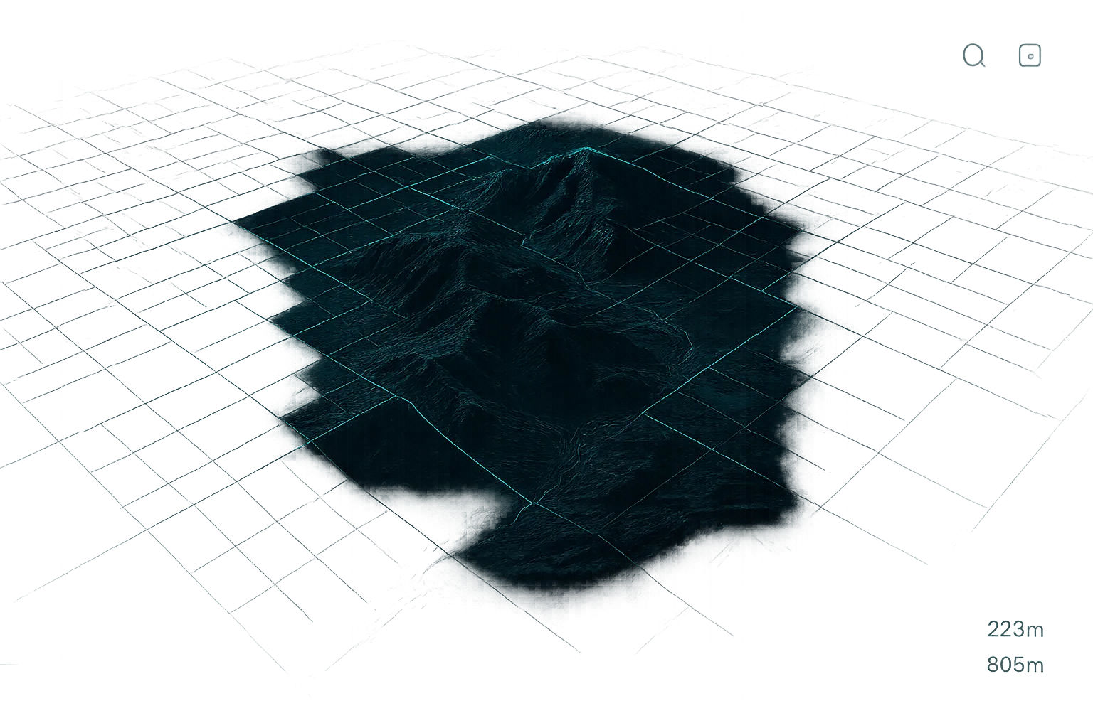
GIS education and training platform.
A structured learning environment for GIS professionals. Interactive courses, hands-on exercises, and certification paths — built by practitioners, for practitioners.
grid.rodostoteknoloji.com
Govern how the outside world reaches your ArcGIS services.
PTM sits in front of ArcGIS Server and turns every external request into a managed, attributable, rate-limited transaction — per-consumer tokens, IP and referrer allowlists, a full audit trail, and one-click partner onboarding. Without modifying the upstream platform.
Learn about PTM
Bring order to a Portal that has outgrown itself.
PCM scans your ArcGIS Online or ArcGIS Enterprise Portal, generates suggested metadata, flags orphan and stale items, surfaces deletion candidates with evidence, and reorganises folder structures. Every action runs under operator approval.
Learn about PCM
Our stack.
Free GIS tools.
Browser-based utilities for everyday geospatial tasks. No signup required.
How we work.
Discover
Audit existing systems, define scope and objectives.
Architect
Design data models, integrations, and platform structure.
Build
Develop in iterative cycles with continuous validation.
Deploy
Launch, train, and provide long-term support.
Latest from Rodosto.

Rodosto Teknoloji at the 2026 Esri Türkiye Partners Meeting
TL;DR — Rodosto Teknoloji attended the 2026 Esri Türkiye Partners Meeting. Our Founder Onurhan Şeremet, together with Solutions…

Building on the ArcGIS Platform: Configurable Apps, Experience Builder, or Custom Development?
TL;DR — On the ArcGIS platform, almost anything is possible — which makes “can we build this?” the…

Rodosto Teknoloji Joins the Esri Partner Network
Rodosto Teknoloji is now a member of the Esri Partner Network. For the municipalities, utilities, and enterprises we…
Get in touch.
41000 İzmit/Kocaeli